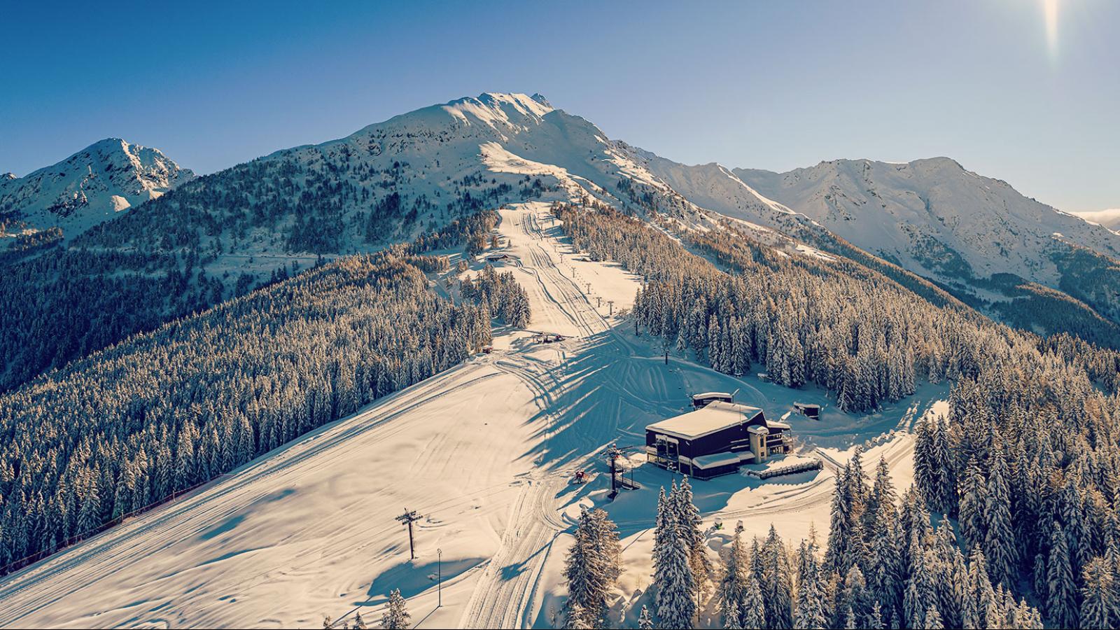
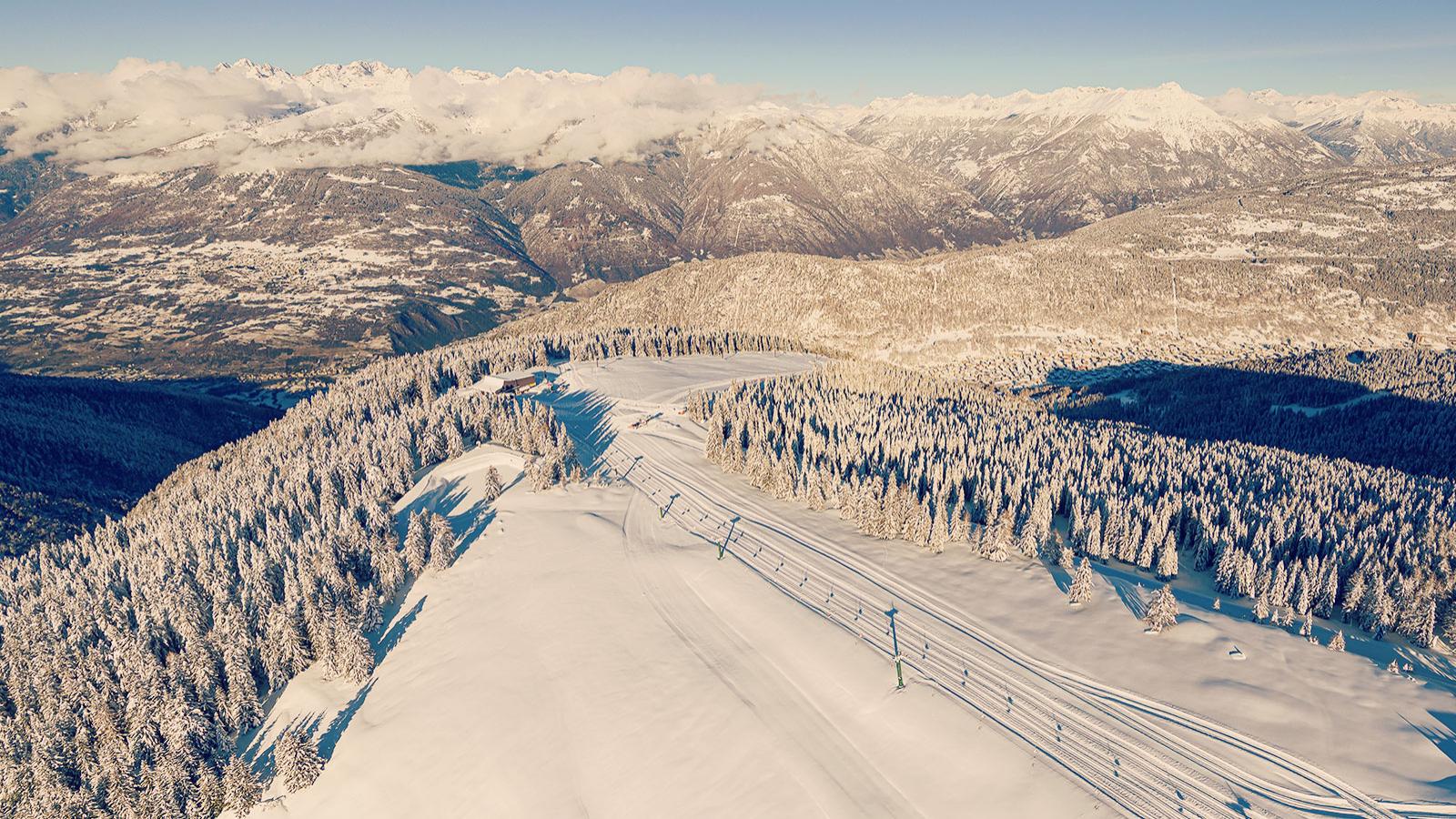
Recognising the popularity of ski mountaineering, Aprica’s Club Alpino Italiano (CAI) have created a dedicated ski mountaineering track on the Tumel trail, escorting fans of skinny skiing uphill with skins to the dizzying height of 2,000 metres above sea level on a diverse trail that ticks every ski mountaineer’s checklist completely avoiding the commercial ski slopes.
The trail is characterised as easy-to-medium difficulty and starts just above the Magnolta chairlift, to the right of the black piste. After passing a small, deserted hut, the climb continues to Foppe. Keep the ski piste on your left from here on and continue up through snowy clearings until you reach the track that (during summer, at least) takes you to Malga Magnolta. Follow this track up through the trees until you reach Corna. Take a breather here to admire the view over the central part of Valtellina. After a few hairpins you’ll be signposted to turn right onto a trail through a pine forest; this goes right to the top. The large clearing at Malga Magnolta opens up, revealing breath-taking views over Val Belviso and the Lago di Belviso. If you’re feeling courageous, enjoy your descent on the technical black Magnolta slope.
Necessary equipment:
Ski mountaineering kit. Recommended: ARVA shovel and probe.


INFOPOINT APRICA
+39 0342 746113
info@apricaonline.com


