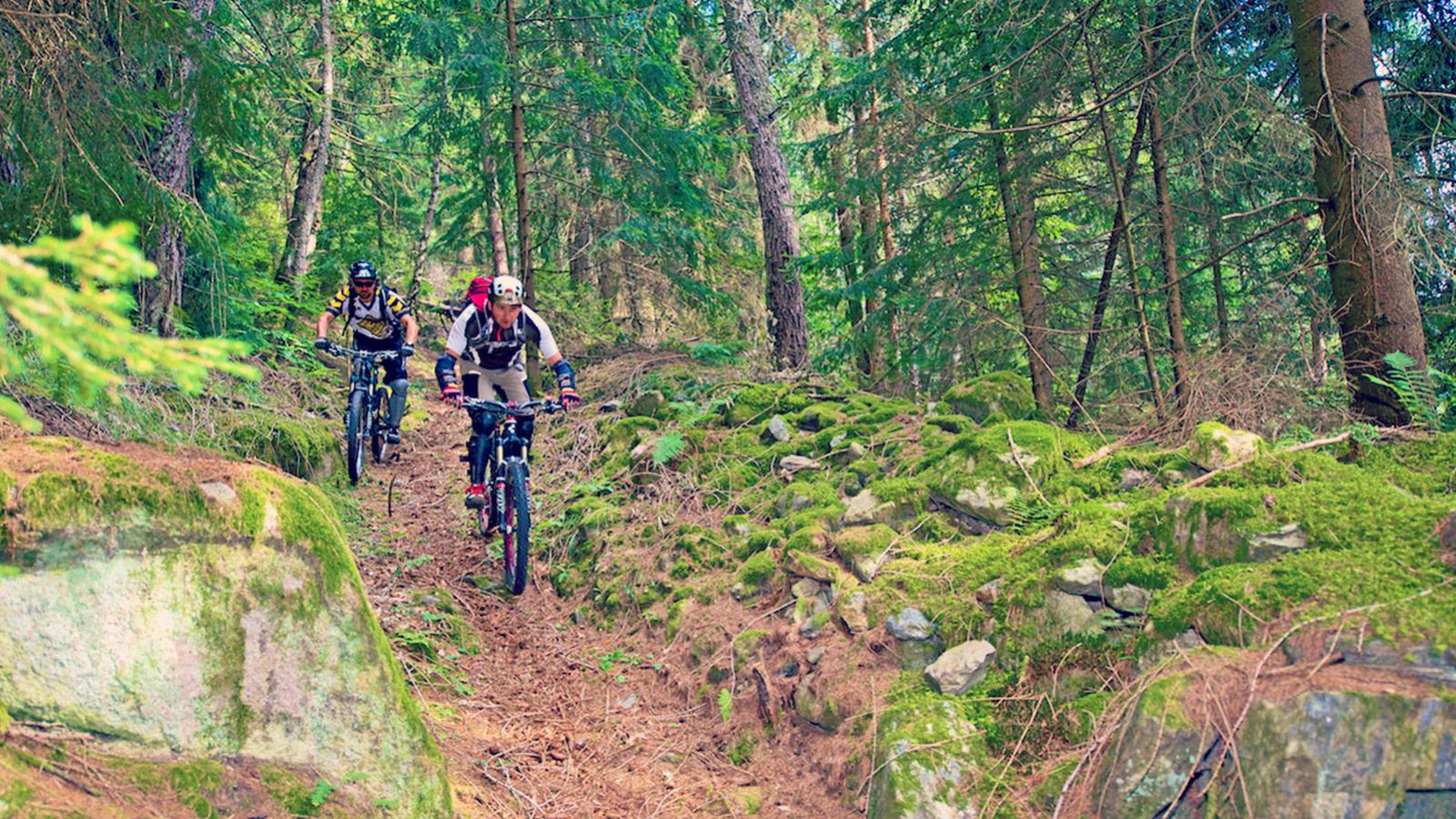
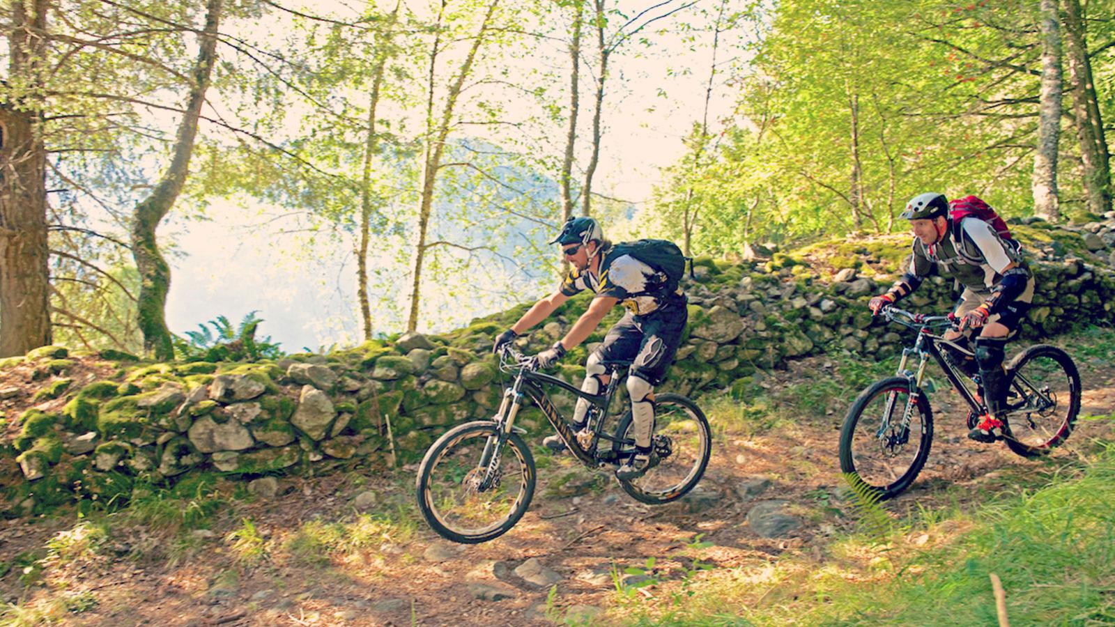
Perched on a mountain ridge above Tirano, this technically demanding downhill MTB route requires experience as it carves its way down dirt roads, ancient mule tracks and trails flanked by chestnut trees and conifers. With views like this and fresh mountain air filling your lungs, it won’t just be the exertion that takes your breath away. However, there’s the small matter of reaching the gorgeous glade-filled plateau of Alpe Trivigno, which – at 1,800 metres above sea level – marks the start of the descent after a climb of 1,364 metres. (As an alternative, Trivigno is easier to reach from Aprica).
The route from Tirano to Alpe Trivigno involves a paved 23.3 km climb that takes you up past Cologna with a series of hairpins, totalling around 2.5–3 hours for the whole climb. For those who prefer not to stamp on the pedals too much, you can park your car in Trivigno, which is at the foot of Monte Padrio and lets you cut off the first part of the climb. After parking your car, followed the paved road until a gravel track turns to the left. This will skirt along the edge of some pastures as it climbs moderately up to Alpe Trivigno at 1,898 metres.
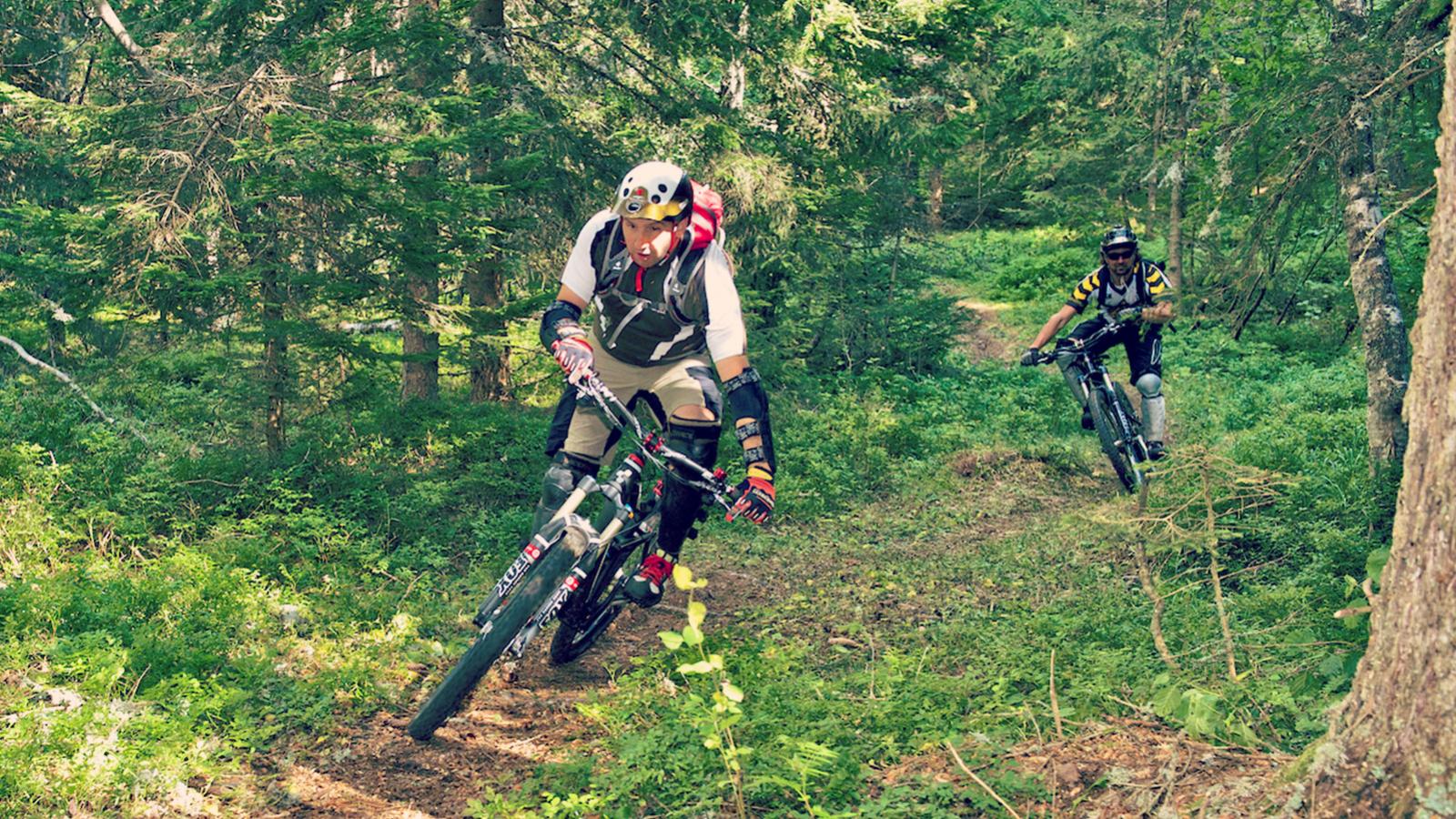
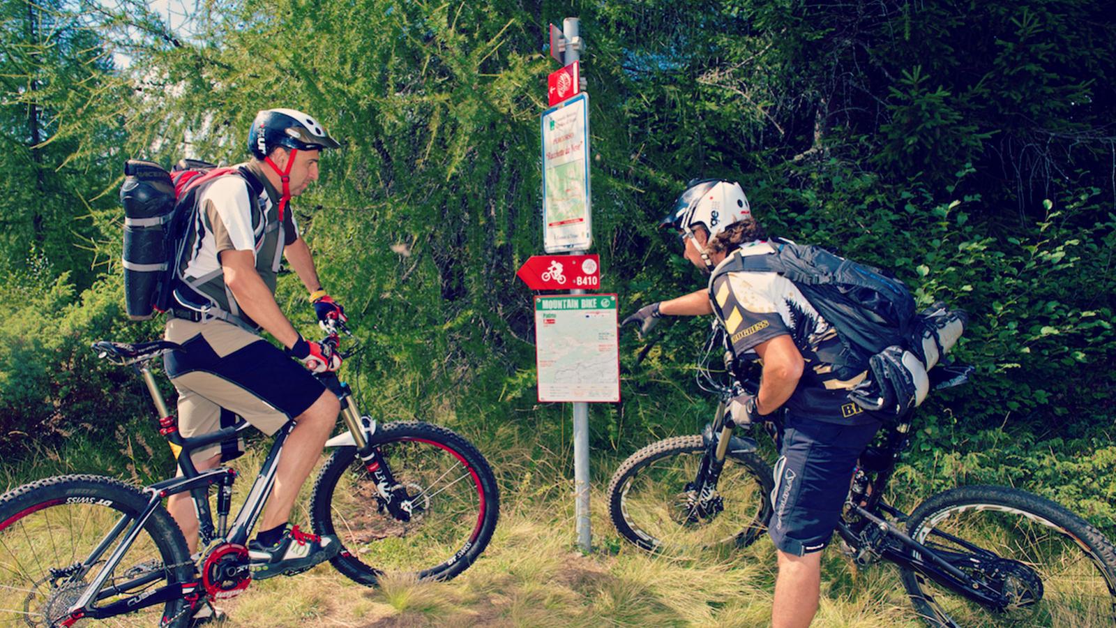
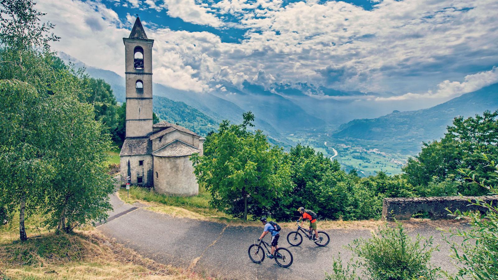
The downhill from Trivigno to Tirano is 12.7 km, totalling 1,500 metres of vertical descent. The first section involves an easy gravel track, before a short stint on a paved road and then you’ll nip right onto an old military road. Here’s where the trickiness ramps up as the track continues to narrow until it turns into proper trail in the woods and brings you out onto the road you climbed up. Turn left onto the road until you spot another mule track on the left, which darts you down to Roccolo Pinchetti. Two tarmacked hairpins later, you’ll spot another gravel trail on your left that takes you to S. Rocco, where you’ll find a church next to a steep path that whizzes you down to Marto. The final part of the descent is a long, easy-going and super fun dirt track down to Stazzona and the bridge over the River Adda. Once you’ve crossed the bridge, simply follow the traffic-free bike path back to Tirano.
INFOPOINT TIRANO
+39 0342 706066
iattirano@valtellinaturismo.com
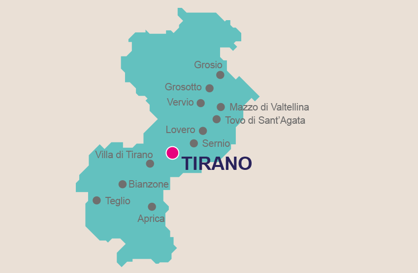
Tirano has a lot going on in terms of its geography. After all, it’s where Switzerland and Italy meet, where the Aprica and Bernina passes merge, and on the road connecting Milan with the upper part of Valtellina. For a dose of ancient history, quaint old town charm and appealing views of centuries-old buildings, Tirano’s wealth of churches